Powerful Typhoon 'Kiko' Emerges in the Eastern Pacific, Raising Concerns for Coastal Communities
 Layla Al Mansoori
Hurricane Kiko Strengthens in Eastern Pacific, Poses No Immediate Land Threat
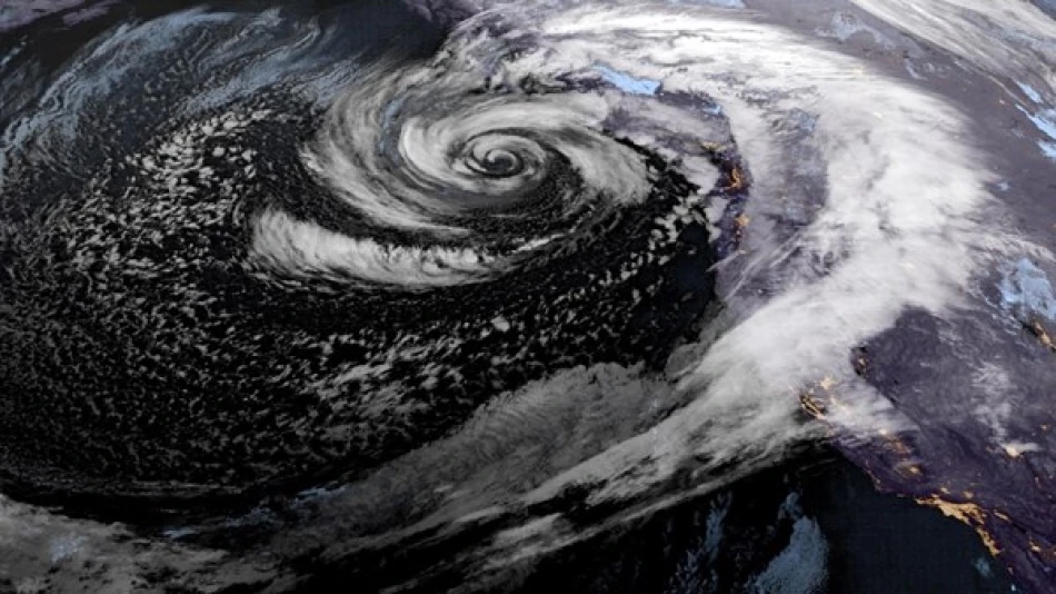
Hurricane Kiko has formed in the eastern Pacific Ocean after intensifying from a tropical storm, currently moving slowly westward with maximum sustained winds of 75 mph. Located approximately 1,840 miles east of Hawaii, the storm presents no immediate danger to land areas but is expected to strengthen gradually over the next 48 hours.
Current Storm Conditions and Trajectory
As of Tuesday, Kiko maintains Category 1 hurricane status with winds reaching 75 mph (120 km/h) and a westward movement speed of 7 mph (11 km/h). The National Hurricane Center in Miami reports the storm's position at roughly 2,965 kilometers east of the Hawaiian Islands, placing it well within the open ocean corridor where Pacific hurricanes typically develop and intensify.
The hurricane's slow movement and current trajectory suggest it will likely follow the common pattern of eastern Pacific storms, which often strengthen over warm ocean waters before either weakening over cooler seas or recurving northward away from populated areas.
Forecast and Intensification Potential
Expected Strengthening Pattern
Meteorologists anticipate gradual intensification over the coming two days, a typical development cycle for storms in this region during peak hurricane season. The eastern Pacific's warm sea surface temperatures, currently running above average in many areas, provide favorable conditions for tropical cyclone development.
The absence of coastal watches or warnings from the National Hurricane Center indicates forecasters expect Kiko to remain over open waters throughout its lifecycle. This scenario aligns with historical patterns where most eastern Pacific hurricanes pose minimal threat to land areas, unlike their Atlantic counterparts that frequently impact Caribbean islands and the U.S. Gulf Coast.
Broader Implications for Pacific Hurricane Season
Kiko's formation adds to what has been a relatively active eastern Pacific hurricane season, reflecting ongoing climate patterns that favor tropical development in this basin. The storm's emergence underscores the region's capacity to generate significant weather systems even when they remain largely unnoticed by populations focused on Atlantic hurricane activity.
For maritime interests, including shipping routes between the Americas and Asia, Kiko represents a system to monitor despite its current distance from major shipping lanes. Commercial vessels and fishing fleets operating in the eastern Pacific will likely adjust routes as standard precautionary measures, though the storm's projected path suggests minimal disruption to major trade corridors.
The hurricane's development also provides valuable data for seasonal forecasting models, helping meteorologists refine predictions for the remainder of the Pacific hurricane season, which typically peaks in late summer and early fall.


