Powerful Earthquake Rocks Iraqi Kurdistan, Causing Widespread Damage and Concern
Minor Earthquake Strikes Near Erbil as Iraq's Kurdistan Region Faces Ongoing Seismic Activity
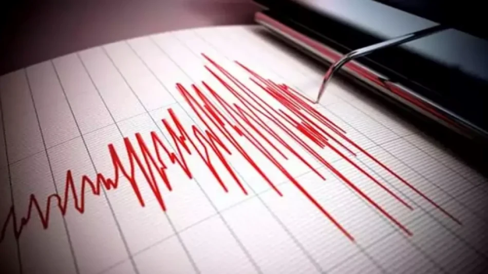
A 3.2-magnitude earthquake hit south of Erbil in Iraq's Kurdistan Region on Saturday, adding to the area's pattern of low-level seismic activity that reflects the broader geological instability affecting the Middle East's oil-rich zones. While causing no immediate damage, the tremor underscores the region's position along active fault lines that could pose long-term risks to critical energy infrastructure.
The Latest Seismic Event
Iraq's General Authority for Meteorology and Seismic Monitoring reported that the earthquake occurred approximately 70 kilometers south of Erbil, the capital of the Kurdistan Regional Government. Local residents in the immediate vicinity felt the tremor, though its relatively modest magnitude meant the shaking was limited to areas close to the epicenter.
No casualties or infrastructure damage have been reported in the immediate aftermath, which is typical for earthquakes of this magnitude. Tremors below 4.0 on the Richter scale rarely cause structural damage to modern buildings, though they serve as reminders of underlying geological tensions.
Kurdistan's Seismic Landscape
Regional Geological Context
The Kurdistan Region sits within a seismically active zone where the Arabian and Eurasian tectonic plates meet. This geological setting places the area along the Zagros fold and thrust belt, a mountain range that extends from Turkey through Iran and into Iraq. The region experiences regular low-to-moderate magnitude earthquakes as these massive plates continue their slow collision.
Iraq's seismic activity has increased monitoring attention in recent years, particularly as the country rebuilds infrastructure following decades of conflict. The Iraqi government has invested in improved earthquake monitoring systems, recognizing that even moderate earthquakes could significantly impact a nation still recovering its industrial and urban capacity.
Economic Implications for Energy Infrastructure
While Saturday's earthquake posed no immediate threat, the Kurdistan Region's role as a major oil-producing area makes seismic monitoring particularly crucial. The region hosts significant petroleum infrastructure, including pipelines, refineries, and drilling operations that could face disruption from larger earthquakes.
International energy companies operating in the area typically build facilities to withstand moderate seismic activity, but the cumulative effect of repeated tremors can stress infrastructure over time. This geological reality factors into long-term investment and insurance calculations for energy projects across the region.
Broader Regional Seismic Trends
Saturday's tremor fits within a pattern of increased earthquake activity across the broader Middle East in recent years. Iran, which shares the same geological fault system, has experienced several significant earthquakes, including devastating events that have highlighted the vulnerability of urban areas in seismically active zones.
The relatively frequent occurrence of minor earthquakes like Saturday's event can actually serve a beneficial purpose by releasing geological stress gradually rather than building up to larger, more destructive events. Seismologists view regular small earthquakes as preferable to the alternative of stress accumulating toward a major release.
For the Kurdistan Region, maintaining robust earthquake monitoring and preparedness measures remains essential as the area continues developing its economy and infrastructure within this geologically dynamic environment.
Most Viewed News

 Layla Al Mansoori

