Powerful Cyclone "Gale" Brewing in the Eastern Pacific: Potential Threat to Coastal Regions
 Layla Al Mansoori
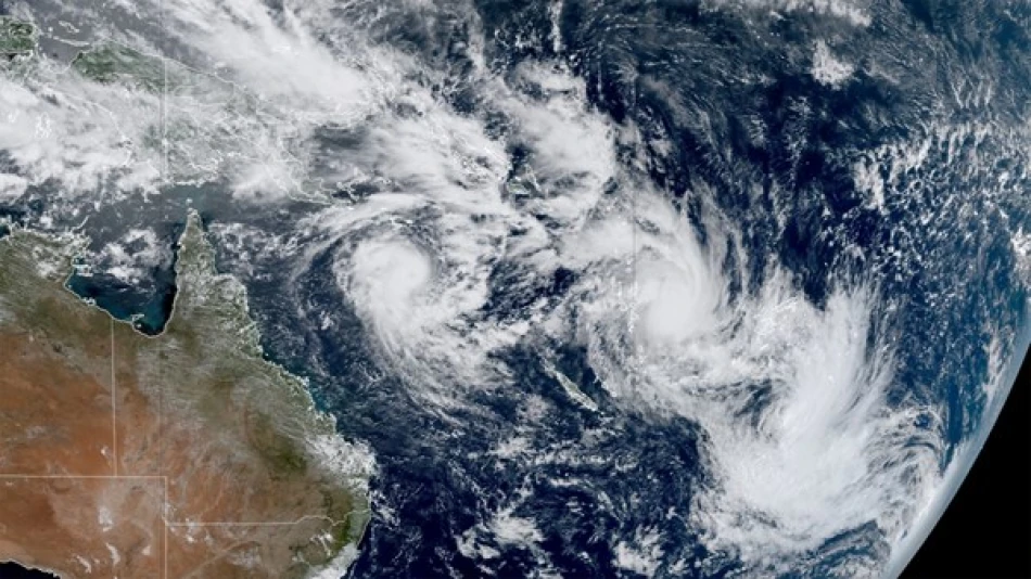
Hurricane Gil Strengthens in Eastern Pacific as Peak Storm Season Intensifies
Tropical Storm Gil has rapidly intensified into a hurricane in the Eastern Pacific, marking another significant weather system during what meteorologists are calling an exceptionally active storm season. While the hurricane poses no immediate threat to land, its development underscores the increasing intensity of Pacific storm activity as the region enters its peak hurricane period.
Current Storm Status and Trajectory
According to the Miami-based National Hurricane Center, Hurricane Gil is currently positioned approximately 1,740 kilometers southwest of Mexico's Baja California Peninsula. The storm has reached Category 1 hurricane status with maximum sustained winds of 120 kilometers per hour, while moving northwest at 31 kilometers per hour.
Meteorologists report that Gil's current trajectory will likely keep it well away from populated coastal areas. No coastal warnings or watches have been issued, and forecasters expect the hurricane to maintain its westward and northwestward path over the coming days, steering it further into open ocean waters.
Peak Season Activity Reflects Broader Climate Patterns
Gil's formation comes during what experts describe as a particularly active period for Eastern Pacific storm development. The timing aligns with the traditional peak of hurricane season, which typically runs from mid-August through early October in this region.
The Eastern Pacific basin has historically been one of the world's most prolific hurricane-generating regions, often producing more named storms annually than the Atlantic. This year's activity appears to be following established patterns, with Gil representing the latest in a series of systems that have developed in recent weeks.
Implications for Regional Weather and Maritime Operations
While Gil poses no direct threat to coastal communities, its presence affects maritime operations across a significant portion of the Eastern Pacific. Shipping routes may need to be adjusted, and fishing operations in the region will likely monitor the storm's progress closely.
The hurricane's development also serves as a reminder of the ocean's capacity to generate powerful weather systems even when they remain far from land. For meteorologists, storms like Gil provide valuable data about atmospheric conditions and help refine forecasting models for future systems that may pose greater risks to populated areas.
The continued westward movement of Hurricane Gil reflects typical steering patterns in the Eastern Pacific, where most storms are guided away from North American coastlines by prevailing atmospheric currents. This natural protection mechanism has historically shielded much of the Pacific Coast from direct hurricane impacts, though exceptions can occur when steering patterns shift or weaken.


