Powerful Atlantic Storm 'Ferdinand' Gains Strength: Preparing for Potential Impacts
 Layla Al Mansoori
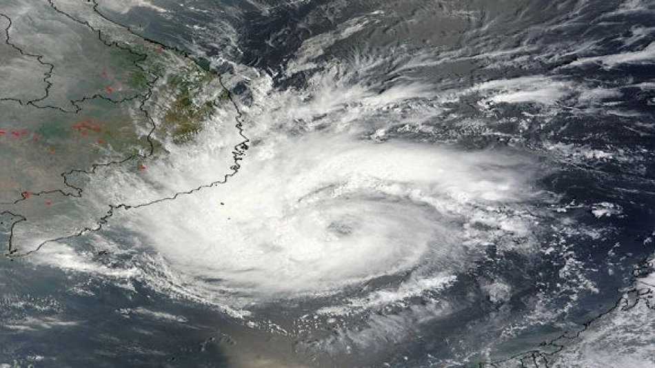
Tropical Storm Fernand Forms Safely Away From Land, Poses No Immediate Threat
Tropical Storm Fernand developed in the Atlantic Ocean on Saturday, marking another addition to the 2024 hurricane season while remaining far from populated areas. The storm is expected to stay over open waters, following a northward trajectory that will keep it away from major landmasses and shipping routes.
Current Storm Conditions and Path
According to the Miami-based National Hurricane Center, Fernand was positioned approximately 655 kilometers southeast of Bermuda when it achieved tropical storm status. The system is generating maximum sustained winds of 65 kilometers per hour while moving northward at 24 kilometers per hour.
The storm's current trajectory suggests it will pass to the east of Bermuda, maintaining sufficient distance to avoid triggering any coastal warnings or watches for the British territory. This path represents an ideal scenario for a developing tropical system during peak hurricane season.
Seasonal Context and Atlantic Activity
Fernand's formation comes during the traditional peak of Atlantic hurricane season, which runs from June through November with maximum activity typically occurring between August and October. The storm's development over open ocean waters follows typical patterns for mid-season tropical systems, which often form from tropical waves moving westward from the African coast.
The Atlantic basin has shown varied activity in recent years, with meteorologists closely monitoring sea surface temperatures and atmospheric conditions that fuel tropical development. Current ocean temperatures remain well above the 26.5°C threshold necessary for tropical storm formation, suggesting continued potential for additional systems throughout the remainder of the season.
Maritime and Aviation Implications
While Fernand poses no direct threat to coastal populations, the storm will likely impact maritime operations in the central Atlantic. Shipping companies and commercial fishing vessels operating in the region typically adjust routes to avoid tropical systems, even those of moderate intensity.
Aviation routes between North America and Europe may experience minor adjustments as pilots navigate around the storm's outer bands. However, modern aircraft routinely handle such deviations with minimal impact on passenger schedules.
Forecasting Challenges and Future Monitoring
Tropical systems like Fernand that remain over open ocean present unique forecasting scenarios. Without land interaction to disrupt their structure, these storms can either strengthen rapidly under favorable conditions or weaken if they encounter hostile atmospheric patterns such as wind shear or cooler waters.
The National Hurricane Center will continue monitoring Fernand's progress, particularly watching for any unexpected changes in intensity or direction that could alter its currently benign forecast. Long-range models suggest the storm will likely weaken as it moves into cooler northern Atlantic waters over the coming days.


