Mexico Braces for Hurricane 'Lorena' - Prepare for Powerful Storm's Landfall
 Layla Al Mansoori
Hurricane Lorena Threatens Mexico's Baja California as Pacific Storm Season Intensifies
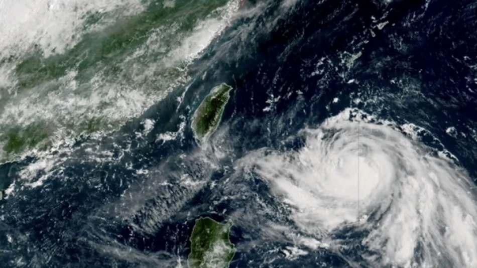
Hurricane Lorena has strengthened off Mexico's Baja California Peninsula, prompting expanded tropical storm warnings as meteorologists predict up to 15 inches of rainfall and life-threatening flooding across the region. The storm highlights Mexico's growing vulnerability to Pacific hurricanes, which have become increasingly unpredictable and destructive in recent years due to warming ocean temperatures.
Storm Reaches Peak Intensity with Dangerous Rainfall Projections
The U.S. National Hurricane Center in Miami reported that Lorena is expected to maintain its current strength throughout Wednesday, with maximum sustained winds of 80 mph (130 km/h). Located approximately 145 miles (230 kilometers) west of Cabo San Lucas, the hurricane is moving northwest at 16 mph (26 km/h).
Weather experts have issued severe warnings about life-threatening flash floods and mudslides, particularly in mountainous areas where rainfall could accumulate rapidly. The projected 15-inch rainfall total represents a significant flood risk for a region that typically experiences arid conditions.
Expanded Warning Zone Reflects Growing Threat
Tropical storm warnings now extend along the western coast of Baja California Sur, from Santa Fe to Punta Abreojos. This expansion signals meteorologists' concerns about the storm's potential impact zone, as computer models continue to refine Lorena's projected path.
Uncertain Track Keeps Coastal Communities on High Alert
While Lorena's exact trajectory remains unclear, the latest forecasts suggest the hurricane will parallel the coast Wednesday evening before approaching land Thursday evening or Friday. The storm is then expected to curve northeast by Friday evening and weaken to tropical storm status by Friday.
This uncertainty reflects a common challenge in Pacific hurricane forecasting, where storms can shift direction rapidly due to complex atmospheric patterns. The unpredictable nature of Lorena's path means coastal communities must prepare for multiple scenarios, from a near-miss to a direct hit.
Pacific Hurricane Activity Remains High with Multiple Systems
Lorena isn't the only concern in the Pacific basin. Hurricane Kiko continues as a Category 2 storm with 110 mph (175 km/h) winds, tracking westward over open Pacific waters approximately 1,665 miles (2,680 kilometers) east of Hilo, Hawaii. Unlike Lorena, Kiko poses no immediate threat to land and has generated no warnings or watches.
Regional Implications for Mexico's Tourism Economy
The timing of Hurricane Lorena could significantly impact Baja California's tourism sector, particularly around Cabo San Lucas, one of Mexico's premier resort destinations. Previous hurricanes in this region have caused hundreds of millions in damages, disrupting not only local communities but also international travel plans.
Mexico's Pacific coast has experienced increasingly active hurricane seasons, with storms like Hurricane Odile in 2014 causing widespread destruction across Baja California Sur. The region's infrastructure improvements since then will face their first major test with Lorena's approach.
Climate Patterns Drive Intensifying Storm Activity
The strengthening of Hurricane Lorena fits broader patterns of Pacific hurricane intensification linked to warmer sea surface temperatures. These conditions allow storms to maintain strength longer and produce more rainfall, creating compound risks for coastal and mountainous communities.
Emergency management officials across northwestern Mexico and Baja California Peninsula are urging residents to monitor storm developments closely, as the window for preparation continues to narrow with each hour of Lorena's approach.


