Japan Braces for New Powerful Storm: Devastating Hurricane Approaches the Island Nation
 Layla Al Mansoori
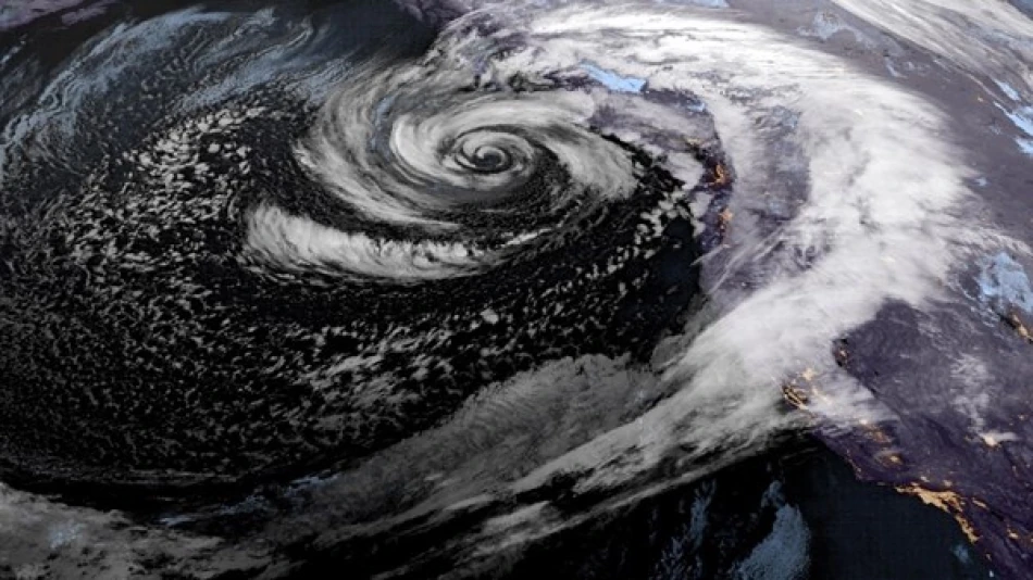
Japan's weather agency has issued urgent warnings for residents of the Izu Islands as Typhoon No. 23 barrels through the region south of Tokyo, bringing dangerous winds and heavy rainfall that could trigger deadly landslides in areas still vulnerable from the previous storm.
The typhoon's center was located about 80 kilometers east of Hachijojima Island as of Monday morning, moving northeast at 30 kilometers per hour. Weather officials expect up to 200 millimeters of rain to fall across parts of the Izu Islands within 24 hours through Tuesday morning.
But here's what makes this storm particularly dangerous: many areas are still at high risk for landslides and other disasters from Typhoon No. 22, which hit the same region on October 9. The back-to-back storms have left the ground saturated and unstable, creating conditions where even moderate rainfall could cause catastrophic slope failures.
The Izu Islands, a chain of volcanic islands stretching south from Tokyo Bay, are especially vulnerable to typhoon damage due to their mountainous terrain and exposed location in the Pacific. The islands' steep slopes and loose volcanic soil make them prone to landslides during heavy rainfall events.
Japanese authorities have experience managing multiple typhoon strikes during the active season, which typically runs from May through October. The country's meteorological agency maintains one of the world's most sophisticated typhoon tracking systems, but residents in remote island communities often face particular challenges during evacuation and recovery efforts due to limited transportation links to the mainland.
This double typhoon impact highlights the growing intensity of storm systems affecting Japan's Pacific coast, where island communities must prepare for extended periods of severe weather that can cut off supply lines and emergency services for days or weeks.


