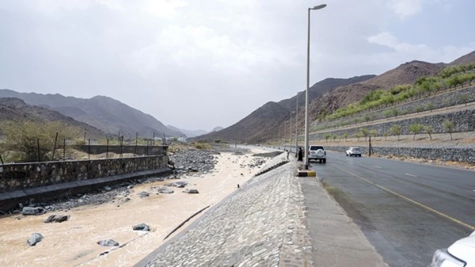
Heavy Downpours Across the UAE: Weathering the Storm
UAE Braces for Intensifying Rainfall as Tropical Weather System Moves North
The United Arab Emirates is experiencing varied rainfall across multiple regions as a low-pressure system from the south combines with tropical convergence patterns, prompting weather authorities to issue comprehensive safety warnings for drivers and residents. The National Center of Meteorology expects the unstable conditions to persist through Friday, with eastern and southern areas bearing the brunt of thunderstorms and potential hail.
Immediate Weather Conditions and Safety Concerns
Current weather patterns show partly cloudy to clear skies with significant cumulus cloud formation in eastern regions, accompanied by rainfall of varying intensity. The meteorological center has issued specific warnings for motorists to exercise extreme caution during precipitation, avoid areas prone to valley flooding and water accumulation, and stay away from open or elevated spaces during lightning and thunder activity.
Particular attention has been drawn to dangerous downdraft winds that can scatter solid objects and severely reduce horizontal visibility—a critical concern for the UAE's extensive highway network and busy aviation sector.
Wind and Sea Conditions
Wind patterns are expected to shift from light to moderate speeds, occasionally becoming active and stirring dust and debris, particularly around cloud formations. Wind velocities range from 10-25 km/h, with gusts reaching up to 45 km/h during peak activity. Both the Arabian Gulf and Sea of Oman are experiencing light to moderate wave conditions.
Extended Forecast Through Friday
Thursday's outlook maintains the partly cloudy pattern with continued cumulus cloud development in eastern and southern regions, extending into some interior areas. Coastal western regions will experience increased humidity during nighttime and early Friday morning hours.
Friday's conditions are expected to follow similar patterns, though with slightly reduced wind intensity, with gusts reaching a maximum of 40 km/h rather than Thursday's 45 km/h peaks.
Meteorological Analysis: A Perfect Storm of Factors
The current weather system results from a complex interaction of multiple atmospheric phenomena. A surface and upper-level low-pressure system extending from the south has combined with the northward movement of the Intertropical Convergence Zone (ITCZ), creating ideal conditions for precipitation.
The Role of Geography and Temperature
The UAE's eastern mountains play a crucial role in cloud formation, acting as a natural catalyst for cumulus development across scattered areas. Simultaneously, moist air masses flowing from the Arabian Sea and Sea of Oman toward the UAE, combined with rising daytime temperatures, create the thermal dynamics necessary for thunderstorm development.
This meteorological setup is particularly pronounced on Wednesday and Thursday, when conditions favor the formation of cumulus clouds accompanied by varied rainfall intensity, lightning, thunder, and small hailstones in affected areas.
Regional Context and Climate Patterns
This weather event reflects broader regional climate dynamics affecting the Arabian Peninsula during transitional seasons. The movement of the ITCZ, typically associated with monsoon patterns affecting the Indian subcontinent, occasionally extends its influence into the Gulf region, bringing enhanced moisture and instability.
Such weather patterns underscore the UAE's position at the intersection of different climate zones, where desert conditions can rapidly shift to more dynamic weather systems when atmospheric conditions align. The country's advanced meteorological monitoring systems and early warning protocols demonstrate the sophisticated infrastructure developed to manage these periodic weather challenges.
For residents and visitors, these conditions serve as a reminder of the importance of weather awareness in a region where clear skies are the norm, making sudden weather changes particularly significant for daily planning and safety considerations.
Most Viewed News


 Layla Al Mansoori


