Earthquake Detected in Papua New Guinea by National Seismic Monitoring Network
 Layla Al Mansoori
Papua New Guinea Hit by 6.0 Magnitude Earthquake as Regional Seismic Monitoring Networks Expand
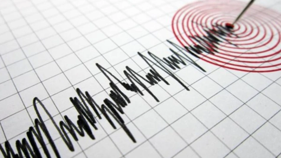
A 6.0 magnitude earthquake struck eastern Papua New Guinea on Tuesday evening, as detected by the UAE's National Center of Meteorology seismic monitoring network. The tremor, recorded at 8:59 PM local UAE time on September 16, 2025, highlights the growing sophistication of regional earthquake detection systems and underscores Papua New Guinea's position as one of the world's most seismically active regions.
Enhanced Regional Monitoring Capabilities
The fact that UAE's meteorological center detected and reported this distant seismic event demonstrates the increasing interconnectedness of global earthquake monitoring networks. Modern seismic stations can detect significant earthquakes thousands of kilometers away, contributing to a comprehensive picture of global tectonic activity.
The UAE's investment in advanced seismic monitoring reflects broader regional efforts to enhance disaster preparedness and scientific capabilities. This technological infrastructure serves dual purposes: protecting domestic populations from potential seismic threats and contributing valuable data to international earthquake research and early warning systems.
Papua New Guinea's Seismic Landscape
Ring of Fire Activity
Papua New Guinea sits along the Pacific Ring of Fire, where multiple tectonic plates converge, making it one of Earth's most earthquake-prone regions. The country experiences hundreds of measurable earthquakes annually, with magnitudes ranging from minor tremors to devastating major quakes.
A 6.0 magnitude earthquake, while significant, falls into the "strong" category on the moment magnitude scale. Such events typically cause noticeable shaking and can result in minor to moderate damage in populated areas, depending on depth, distance from population centers, and local building standards.
Historical Context and Patterns
The region has experienced several notable seismic events in recent years. In 2018, a 7.5 magnitude earthquake in Papua New Guinea's highlands killed over 100 people and displaced thousands. More recently, the area has seen increased seismic activity as part of broader Pacific Rim tectonic movements.
Tuesday's earthquake adds to a pattern of moderate to strong seismic activity across the Pacific region in 2025, reflecting ongoing tectonic stress along major fault systems. Seismologists often observe clustering of earthquake activity, where one significant event can trigger or coincide with others in related fault systems.
Implications for Regional Preparedness
The detection and rapid reporting of this earthquake by UAE monitoring stations illustrates how modern seismic networks contribute to regional security and scientific understanding. For Papua New Guinea, which faces ongoing challenges in earthquake preparedness due to geographic isolation and infrastructure limitations, international monitoring support proves invaluable.
The event serves as a reminder that seismic activity remains a persistent threat across the Pacific region, requiring continued investment in monitoring technology and disaster preparedness measures. As climate change and development pressures increase vulnerability to natural disasters, robust early warning systems become increasingly critical for protecting populations and economic assets.


