Downpours Drench Diverse Regions Across the UAE
 Layla Al Mansoori
UAE Experiences Scattered Rainfall as Seasonal Weather Patterns Begin September Transition
The United Arab Emirates witnessed scattered rainfall across various regions on Monday, driven by a surface low-pressure system extending from the east combined with upper-atmospheric disturbances. The weather event marks the beginning of September's characteristic transition from peak summer heat toward autumn, with temperatures starting their seasonal decline and shifting atmospheric patterns creating conditions for increased cloud formation and precipitation.
Current Weather Conditions and Atmospheric Dynamics
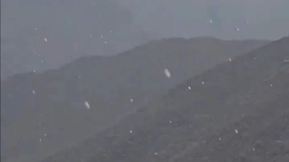
The rainfall resulted from a complex meteorological setup involving surface low-pressure systems from the east interacting with upper-level atmospheric disturbances. This combination created ideal conditions for cumulus cloud development, accompanied by active winds reaching speeds of up to 45 km/h near cloud formations.
These wind conditions stirred up dust and sand particles, reducing horizontal visibility to less than 2,000 meters in some eastern regions. Despite the cloud cover and precipitation, temperatures remained elevated, with the highest recorded temperature reaching 47.2°C (117°F) in Hameem, located in the Al Dhafra region.
Regional Weather Variations
Weather conditions varied significantly across the country, with partially cloudy to occasionally overcast skies dominating northern and eastern areas. These regions experienced light rainfall, while humidity levels are expected to rise during nighttime and early Tuesday morning along coastal and inland areas, potentially leading to fog or light mist formation.
September's Seasonal Significance
According to the National Center of Meteorology, September represents the final month of summer in the UAE, characterized by the beginning of temperature moderation, particularly during nighttime hours. The month's second half marks the astronomical start of autumn on September 23, when the sun reaches the equator before appearing to move southward toward the Tropic of Capricorn.
Shifting Pressure Systems
The seasonal transition involves the gradual weakening of the Indian monsoon low-pressure system's influence on the region. However, the UAE continues to experience effects from thermal low-pressure extensions originating from central Arabia, bringing relatively active winds that stir dust and occasionally reduce visibility.
These atmospheric conditions maintain favorable circumstances for cumulus cloud formation accompanied by rainfall, particularly affecting eastern regions with potential extension into some inland areas.
Weather Outlook and Maritime Conditions
Tuesday's forecast indicates continued partially cloudy to occasionally overcast conditions, with possible cumulus cloud development in eastern areas during afternoon hours. Humidity levels are expected to increase during nighttime and early Wednesday morning in western regions, creating potential for fog or light mist formation.
Wind patterns will shift from southeastern to northeastern directions, maintaining light to moderate speeds of 10-25 km/h, occasionally intensifying to 40 km/h during daytime hours. Maritime conditions remain calm, with light wave activity expected in both the Arabian Gulf and the Sea of Oman.
Implications for Regional Climate Patterns
This weather pattern reflects the UAE's position within broader regional atmospheric systems that influence the Arabian Peninsula during seasonal transitions. The interaction between weakening monsoon influences and persistent thermal lows from central Arabia creates the characteristic September weather variability that residents and meteorologists have come to expect.
The continued potential for cumulus cloud formation and rainfall, particularly in eastern regions, suggests that moisture levels remain sufficient for precipitation despite the overall trend toward autumn's typically drier conditions.


